BOWLES, Henry Carington (1763-1830) — London
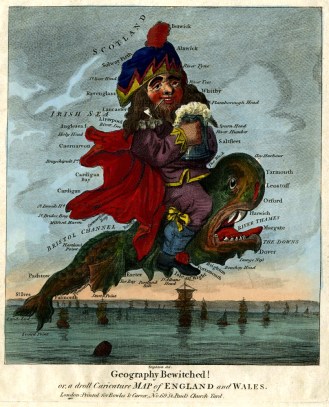
Publisher, map and print-seller. Working in partnership with Samuel Carver as “Bowles & Carver” and frequently using earlier plates, he published “Post-chaise companion” ca.1793; “The large English atlas” ca. 1794; “Bowles’s road director through England and Wales” 1794; “The royal English atlas” 1794; “New medium English atlas” ca.1795; Forty miles round London ca.1795; Bowles’s new topographical chart of the English Channel 1795; Bowles’s new four-sheet map of Europe 1795; Bowles’s British geographical amusement, or game of geography 1795; Bowles’s reduced new pocket plan of the cities of London and Westminster 1796; Bowles’s new two-sheet plan of the cities of London & Westminster 1796; Bowles’s new four-sheet map of the world 1800, etc. Also published further games, including Geographical game of the world, etc.
Born 31 Aug 1763, the son and successor of the print-seller Carington Bowles (see BME 2011). Made free (Joiners) by patrimony 7 Dec 1784. He married Ann Garnault (1771-1812), with whom he had six children, at St. George the Martyr, Queen Square, 26 Feb 1799. Elected a Fellow of the Society of Antiquaries. A burglary at his house at Enfield in 1829 led to two trials at the Old Bailey. Died at his home in Enfield 30 Jun 1830 and was buried at All Saints, Hertford, 12 Jul 1830, leaving an estate worth some £70,000. His will survives in NA. A number of the “Bowles & Carver” plates subsequently passed to George Frederick Cruchley (see BME 2011).

69 St. Paul’s Churchyard — 1793-1830
Myddleton House, Enfield (home) — 1824-1830
Adams. BBTI. BM. BNA. Hannas. Henrey. Hodson (1984) (1989) (1997). Howgego. Humphries & Smith. LHD. LMA. Maxted. NA. OB. ODNB. Tooley. Whitehouse.